Intro
The Long Path is a 358 mile trail that extends, officially, from John Boyd Thacher State Park just west of Albany, NY down into “hill country”, then the Catskills, the Shawangunks, Orange County, and the Palisades of New Jersey before crossing the Hudson River via the George Washington Bridge into Manhattan, and finishing at the nearby 175th St. subway station.
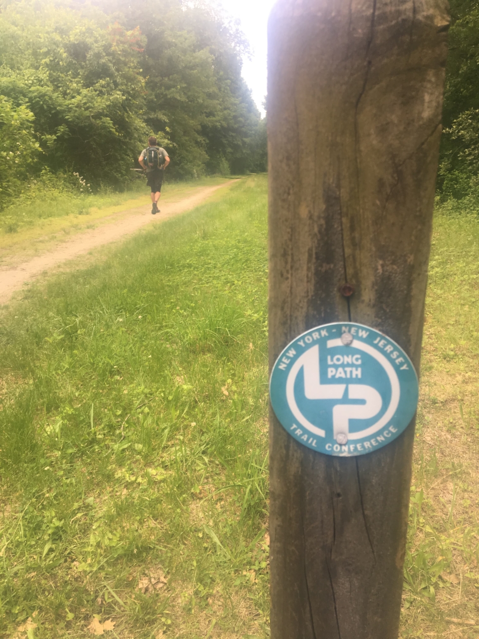
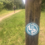
It began as an “anti-trail”, an answer to Vermont’s Long Trail. The idea was to string together green spaces and landmarks connecting New York City all the way up to the Adirondacks, but keeping the route unmarked to promote navigational skills and adventure. In the 1960’s a new generation began building the Long Path we see today: still wild and gnarly, but blazed (in aqua) as you’d see on a normal trail.
Ken Posner set the standing record in 2013 (also known as a “fastest known time” or “FKT”) at 9 days, 3 hours, 6 minutes, heading northbound (NoBo) from New York City and finishing at John Boyd Thacher State Park. We decided to go southbound (SoBo). With Will’s apartment only 1.5 miles from the finish, we found the southbound route much more appealing.
Will had built a 7 day and 8 day plan. We had done some scouting. But we had no idea the magnitude of what we were getting ourselves into.
Days 1 and 2: The Great Wild North
We arrived in Albany (Will via train from NYC, Dustin via bus from Boston) and were picked up by Mike and Dot Matthews, parents of Will’s college friends. They treated us to dinner and great conversation that evening, then the next morning strong coffee and a ride to the northern terminus in John Boyd Thacher State Park.
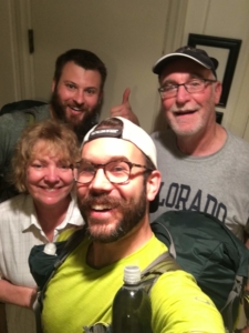
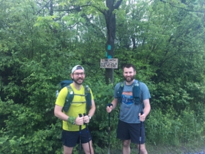
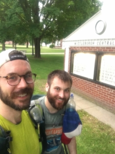
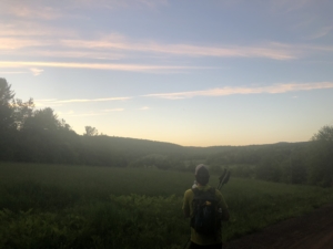
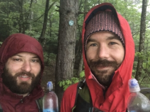
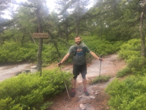
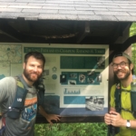
The picture at the northern terminus was taken at 5:35am on Friday June 1st by Mike Matthews. We marked 5:37am as our official start and headed down the trail. It was not yet hot out and the thick forest canopy shielded us from sun (it also blocked the signal for the SPOT tracker). We ran most of the way through the park.
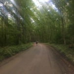
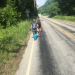
The Long Path links together whatever green spaces available to make its way toward NYC. It utilizes established trails where possible. State parks are among the best maintained and clearly marked trails we encountered. Second best for speed are old dirt roads: wide and and flat without much in the way of rocks or roots to obstruct running. Pavement is good for speed, but hard on the body.
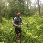
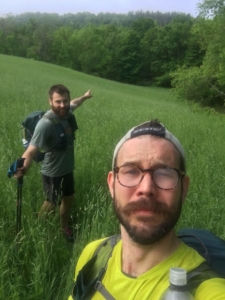
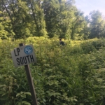
Then there are the very Long Path ways through green space: easements along property lines, sparsely marked, with no discernable trail and high grass. Occasionally you could see a slight trampling (maybe others had been here? Maybe it was deer?), but we’d have to continually check the Gaia GPS app to make sure we were still on the route.
(Here’s a video for a better view of the grassy easements.)
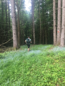
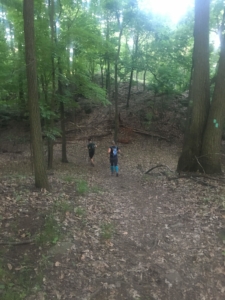
Then there were Wildlife Management Areas and State Forests. Apart from the Catskills (days 3-5), much of our time was spent either in one of these or linking them together. They were sparsely traveled and sometimes felt like we were following blazes through the middle of a forest (because in essence we were).
After John Boyd Thatcher SP, day one involved a lot of grinding through brush and tall grass. The weather was very hot, and very humid. Due to the earlier rain, all the foliage was slightly damp and we were constantly wet from head to toe.
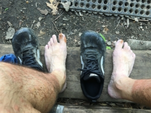
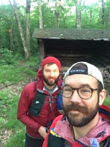
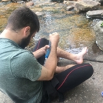
Around 5pm, nearly 12 hours elapsed, we arrived at the Cotton Hill shelter in the Partridge Run Wildlife Management Area. We took a break to eat and dry feet. Moving on wet feet for much longer than 8-10 hours risks breakdown or tearing since water-logged skin is much weaker (think of how fingers become soft after a long bath). Drying feet took longer than anticipated in the humidity, and we hoped for drier weather or to learn that stopping at 5pm is just too late in the day.
A few hours later we hit Middleville (~8pm) and restocked at Stewart’s Shops. We needed three days worth of food since our next re-supply wasn’t until Palinville (there was a campground a little earlier, but we couldn’t rely on that).
As dark fell, we left town and started the steep 500 ft climb up Vroman’s Nose, summiting in pitch black.
We made it a couple more hours and decided to set up camp just into Patria State Forest. “Dispersed camping” is allowed so long as you’re 150 ft from a trail or water source.
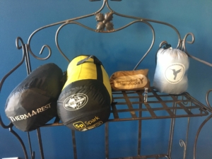
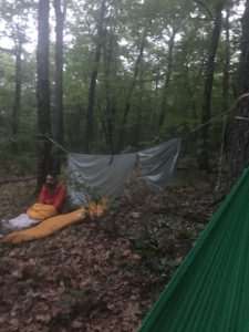
Both the tarp (Sea to Summit, 10×10, 12.3 oz) and hammocks (Hummingbird, 7.6oz for the hammock, 2.3 oz for the straps) were new and slow to set up. Once those were up, the sleeping pad (Therm-A-Rest, 12 oz) and bag (Sea to Summit, 12.6oz) were quick. We didn’t get in bed until well after midnight. But it wouldn’t matter much. It was still a sticky 70 degrees. Our sleeping bags are rated for ~46 degrees and we desperately wanted to shunt them aside to vent heat. But exposed skin was devoured by bugs. We had head nets, but the mosquitos bit right through them. We nodded off periodically, but there was little, if any, in the way of deep sleep.
We were as slow to break camp as we were to set up and it was 7:30am by the time we left. We’d need to do better.
We were treated to more wilderness as we bent our way toward the Catskills. It was state forest and overgrown easements, wicked side hills and new “trails”. The weather: raining or threatening rain.
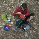
We hadn’t dried off overnight and were again wet all day. So around noon we stopped to dry feet. Dustin opened his pack to get some food, removing his sleeping bag…and surprise! Peanut butter had exploded out of the ziplock! It was everywhere.
It took the better part of an hour to empty and clean everything and the pack still smelled of a peanut butter and honey sandwich. There was nothing further we could do at that point. Will joked that Dustin would have to sleep up in a tree 100 ft away from camp so we weren’t eaten by bears. But for serious guys, all the sleeping gear was soaked with PB. We were a little apprehensive about attracting critters at night, but once feet were dry, we headed on.
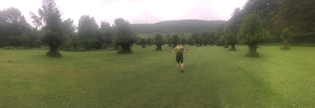
Burnt-Rossman State Forest was more gnar, more thinly traveled trail, more side hills, until we popped out into an immense perfectly mowed and mushroom-treed wonderland. The Long Path took us by a Victorian-era house – the Blenheim-Gilboa Visitor’s Center come to find out – and we spoke with a couple women who worked there. They corset the trees to allow deer only snack-sized portions. The deer are fed, the trees survive.
The Visitor’s Center fed into more mowed grass and eventually Mine Kill State Park where frisbee golfers were having a joyous afternoon. There were runable trails and we were glad for the reprieve.
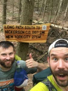
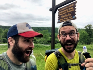
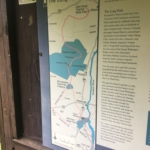
Distances were hard to compute. Our GPS tracks (which guided the Gaia GPS navigation app on our phones) were notoriously short. We weren’t really sure how much progress we had made, until we hit this very official looking sign which indicated that by 4pm on day two, we had completed about 85 miles. It was a small relief since we thought we were further behind.
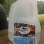
The good tidings continued as we hit Nickerson Campground a couple miles later. What better way to both celebrate and get 700-800 calories in you than to demolish a pint of ice cream.
We also appreciated Nickerson’s honesty, putting scare quotes around “in the Catskills”. Realistically we wouldn’t hit the north end of the Catskills until day 3, with some rugged state forest in between.
Sun set at 8:30, but we pushed on to almost 11, setting up camp in Ashland Pinnacle State Forest. More heat. More humidity. More bugs. More restless sleep. But with no rain in the forecast, at least we didn’t have to set up the tarp.
Day 3: The Escarpment
We packed up and were on the go by 6:30am, better at breaking camp than the first night, but still sluggish. We had breakfast on the go, together eating a whole bag of granola.
Much of our experience in multi-day running comes from 200 milers in California, Colorado, Utah and Washington. All considerably more arid. Even if it rains, things dry quickly.
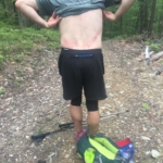
The constant wetness of the first couple days had taken its toll on Will especially. The chafing was especially bad on his back. He tried several different configurations to relieve pressure, but it was difficult to work out the kinks in his pack. It took industrial quantities of lubricant to reach a tolerable state.
By mid-day we had reached the northern end of the Catskills! The entire park is really well blazed. The first couple of days we spent a lot of energy route finding, so we were glad for the break.
Like really glad. Making quips about “escarping it up.” Ignorance was bliss.
We started in on the Escarpment Trail. The beginning is a frequently traveled 3.7 miles and 1,860 ft climb up to Windham High Peak at 3,524. We saw more people in that hour than we had in the first couple of days.
Lo and behold, we get to the summit, with Will in the lead. He turns and there is his good friend and fraternity brother Brett Ferguson who is up in the area for a weekend trip with his girlfriend! Complete coincidence. We were so shocked that we didn’t think to get a photo. It was also because they were clean, like Patagonia advertisement clean. And smelled like soap and detergent, but also civilization. It was all a lot to process.
We moved on down the Escarpment Trail and proceeded to see no one for hours. Here’s what the hiking guide has to say:
“The blue marked Escarpment Trail is 23.9 miles long and makes for a great 3 day backpacking trip or the trail can be hiked in a really tough, weekend trip. The trail travels along some of the Catskill Mountains most scenic territory. It is 3940 feet at its highest point on the summit of Blackhead Mountain. It crosses seven summits over 3000 feet on some of the most rugged terrain in the Catskills.”
“The Escarpment Trail can be hiked end to end in a weekend, but be sure you have a vehicle at both ends of the trail or arrange a shuttle. Pad your hiking schedule, though, because Catskill miles are not regular miles. The soft sediments underlying these ancient mountains were carved vengefully by glaciers some 22,000 years ago, creating elevation changes both sudden and steep. Around here, it’s not the elevation extremes that count, but the cumulative gain in between.”
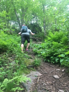
We were to complete it in roughly 8 grueling hours. It felt like our efforts had tripled and our output cut in half. We were going ~1mph in some sections. Straight up, straight down, repeat.
About halfway in we could hear and see and feel a giant storm building. The sky darkened. Winds kicked up, then died to silence. Then kicked back up again in great liquid whips, crashing over the escarpment.
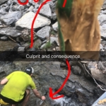
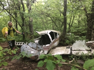
Six hours in, we arrived at a metaphor. Pretty good representation of how we were feeling. Just exhausted.
We pushed on, and the storm continued to build. Nightfall hit around 8:30pm as we descended toward North/South Lake Campground – still at least 45 minutes of craggy terrain away – when we come across a group of ~5th grade girls with a couple adult minders. They had headlamps and torches, but only light jackets and they were headed up the escarpment. We were worried about them – they’d have big trouble staying warm if the storm hit – but we ourselves were low on water and concerned about finding shelter soon.
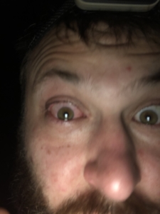
Complicating that, Will gets something in his eye, so we chase down a water pump to flush it out (sleep monsters affecting decision making) after we arrive at the campground and Will does three big flushes. This gives some reprieve but overnight the eye basically swells shut.
Day 4: The Devil’s Path
It stormed heavily overnight, with wind whipping across our campsite, bringing spitting rain with it. It was hard to stay warm enough (stark contrast to the first two nights), but even harder to leave the bags in the morning.
We geared up and it was still raining. But it was only five miles to the Mobil in Palenville and given a bit of runnable terrain, we warmed up quickly. A brief descent and short road stretch and we were there.
We set our gear down near the only table in the gas station, ordered food (breakfast sandwich for Will and ⅔ lb of both salami and cheese for Dustin), grabbed a bunch for the trail (we’d need 1 day’s worth + 1 day buffer) and sat down with a couple locals. “You boys came in on the Escarpment Trail? I did that once.” They raised their eyebrows and casually mention that two or so people a year fall and die on that trail every year.
Will’s eye problems continued as we left Palinville. By mid-morning, left eye was pretty much normal but right eye was swollen and crusted. He is nearly blind without contacts. Eventually he got the right contact lens in using a “quick-shove” method since he could barely keep his eye open.
After Palinville, we climbed roughly 2k ft winding up and around Kaaterskill High Peak, while Dustin quietly regretted his meat/cheese bonanza, heading down the far side of the mountain when, surprise!
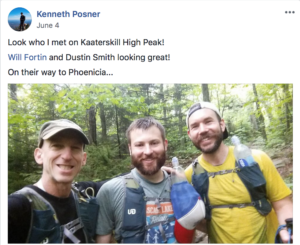
We’re greeted by FKT holder Ken Posner, out for a barefoot hike. We chat for a moment, he encourages us on and leaves us with an omen, knowing we’re about to start the Devil’s Path: “Watch out for its dark forces, but once you get beyond that, you’re in the home stretch.”
Buoyed by the visit, we scamper down the rest of the way, cross the road and start our climb towards the Devil’s Path. Here, we know what we’re in for. Back in 2016, we fastpacked the whole Devil’s Path in a weekend after being tempted by what some call the hardest trail on the East Coast. It is grueling, with giant features. Slow, with little water. Straight up and straight down. Plenty of hands and feet. So steep you couldn’t really use your trekking poles.
It was also the second day in a row of big step-ups and downs, and we could really feel the punishment in our quads and stabilizer muscles.
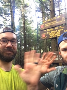
Just after 7pm, we parted ways with the Devil, relatively unscathed (no big falls). But there was no time for rest. The grocery store in Phoenicia was 10.8 miles away and closed at 11pm. We pushed as hard as we could, but the terrain and our legs wouldn’t get us there in time.
So we holed up in the Tremper Shelter, just after 11pm, two miles out of Phoenicia so we could hit the grocery store as soon as it opened at 7am. The shelter was a treat – we just had to set out sleeping pads and bags – but located near the top of Mount Tremper (~2,600 ft) and we spent the night very, very cold. Our sleeping bags are comfort rated for 54 with a lower limit of 42. It dipped to 30 degrees. Even Will – normally a heat-radiating man bear – was cold.
Day 5: The High High Peaks
Through lots of self-cheerleading (“we can do this, we can do this”) we climbed out of the sleeping bags just after 6am and headed down the mountain.
We ended up arriving early and hit the gas station for protein bars (we basically lived on the PB flavor of Clif’s Builders Bars). Will has the spectacular fortune to both discover the PORKINATOR breakfast sandwich (ham, bacon, sausage, egg, cheese on fluffy roll) and its creator. Genius comes in all shapes and sizes he thought to himself quietly as he replied to the PORKINATOR creator, “yes, I’ll also have a sausage and an egg and cheese breakfast sandwich too”.
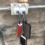
We moved next store to Phoenicia Market and did our own harried version of Supermarket Sweep while finally getting a little power for the phones and power bricks.
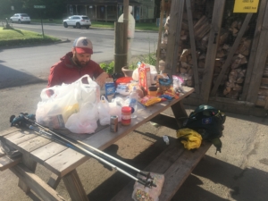
We needed three days of food, plus some buffer, so we really loaded up. Plenty of ready-made goods (here Will favors Pop-tarts, Dustin plantain chips & Cheetos) but we also made PB&J and salami/cheese sandwiches (no rogue PB this time!), and Dustin packed a whole bag of Lucky Charms. These are things you can (and must!) do when you’re burning 7-9k calories per day.
Phoenicia is at 600ft. A relative low point for the Catskills. Heading south out of town, we started climbing.
Will had done a scouting trip a month prior over a long weekend, starting in Phoenicia and continuing 87 miles down to Otisville. He came back with something of a haunted look: “this is going to be really hard. We’re not done after the Devil’s Path. There’s a bunch more of that steep hands and feet stuff.”
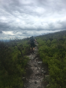
The wind tore over the ridges and it threatened rain the whole day. It was cold and got colder as we climbed higher. Not only was the terrain characteristically difficult, the gains were huge. After breakfast, we climbed 2k ft up to 2,600, then wended over the next five miles into a saddle and then back up to 4,200 feet at Slide Mountain, the highest peak in the Catskills and the highest point on the Long Path.
It felt like a metaphorical win: it was downhill to New York city. But as we spent the afternoon talking through our plan for the next few days, Will (who was handling most of the navigation) revealed to Dustin that though it was Day 5, afternoon on Day 5, we had yet to cross the halfway point. We still had more than 185 miles to go.
We moved in silence for almost the whole decent from Slide Mountain.
The dejection must have showed. Down at the Peekamoose Blue Hole road crossing, a desolate place, a truck pulls up while we’re stopped drying feet. “You boys don’t look like you’re having any fun. You know there aren’t any busses around here.” We muttered that we were fine and knew there wasn’t any public transit. “We’re headed out on foot. We’re ok. Thanks.”
Day 6: Minnewaska and the Gunks
With a Friday start, we really wanted a Friday finish. Ilse, Dustin’s wife, was coming to NYC that evening. We’d have two days of recovery before going back to work. We’d get showers and soft sheets and beer. It was very implausible. But we decided to go for it.
One place to pick up time was sleep. We had very slow turn arounds (for very little actual sleep), on the order of eight hours, for the first couple of nights. So we continued moving until 2am on Day 5 and layed out the tarp in Sundown Wild Forest just before Upper Cherrytown Road. The ground was soft, so we bundled up and slipped into our sleeping bags. No pad. As simple as possible.
Again, it was freezing, just like the past couple of nights, but we desperately needed the sleep and despite the cold, our bodies let go for a couple hours.
We were down at 1:22am and back moving by 3:23. We were hungry for miles.
The first section was roads – a mix of dirt and pavement – allowing us to make good time down into Wawarsing. We love New Paltz Brewing, which is right on the Long Path, and were a little wistful that we passed by at 6am.
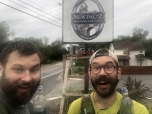
Once out of town, we had some miles of rocky trail on the way to Minnewaska State Park.
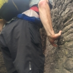
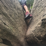
There we don’t have photos because it’s 7.5 miles of hands and feet, ascending and descending ledges, with giant ups and downs, sized perfectly to your biggest steps. Quads were again complaining and we could feel our feet swell from the pounding (little rest the night before, morning running, then lots of rocks).
But near the end of Minnewaska is Awosting Falls. We took a load off, had some lunch (we’d been mostly eating on the go to save time), refilled water and dried feet.
The hike up to the falls was very popular and we saw plenty of people.
It was just a small climb before we were running down a wide fire road, struck by how overpowering the detergent, perfume and soap scents were as we passed each group of hikers. We were now one with the trees.
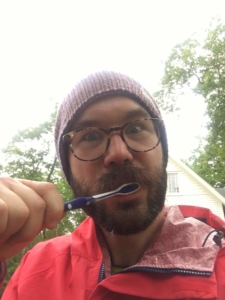
We arrived at the Visitor’s Center where we could clean up a little. You only realize how feral you’ve gone once you’re around those still living in civil society. Dustin sat at the picnic table, brushing his teeth, and spit out onto the ground. Will, who had recently hit “Peak Vaseline” attempting to lubricate his 2,000 parts and stave off further chafing, left a giant Vaseline mark on the park bench. Seeing Will’s softly scornful look at spitting toothpaste on the ground: “You’re leaving Vaseline butt marks and I’m the asshole for brushing my teeth here?” 😉
We continued down the Shawangunks, following one long ridge southwest. It’s gnarly and extremely gnarly in turns, with an occasional short section of respite.
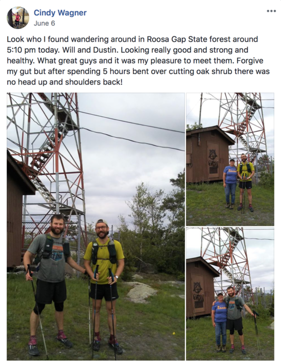
Around 5pm, we’re surprised with a visit from Cindy, who had been following along with our progress and was out doing trail work on her section of the Long Path.
We left feeling reinvigorated. That night we wanted to push to a hotel at Middletown/New Hampton so we could finally get some sleep, but we had two problems: first, we ran out of water in Bashakill and didn’t want to risk running/sweating. Second, we thought the trail after Otisville would be rails-2-trails, but instead it was punishing, angular cobbles.
The lack of water and extremely long day started wearing on us. We ate very little (big mistake) and by the time we hit Huckleberry Ridge State Forest, before the start of the big road section, and about 11 miles shy of the hotel, we decided to hang hammocks and get some sleep. It was nearly 2am and we had been moving for almost 24 hours straight. It had paid off. We advanced almost 60 miles on the day.
Day 7: The Road East
Sleep is fitful. Dustin smells so bad that he wakes himself up several times during the night with hot sulphur in his nostrils.
Just before 5am, Dustin feels an odd sensation, wakes up mid-air and is unceremoniously deposited on the forest floor. He looks up to see his hammock shredded in two. Will heard the commotion and wakes up. Barely.
[Will sees Dustin sitting in his sleeping bag on the ground beside his sleeping bag]
Will: uh, what happened?
Dustin: my hammock broke, but at least I landed on my shoes
Will: oh. good.
[Will falls right back to sleep, zzzzzz]
Sleep monsters had fully taken hold.
—
We broke camp and left by 6:15am, excited for the massive road section. Roads mean faster miles, but are also much harder on your body than fast-hiking or trail running.
We were still gunning for a Friday finish and had plans to meet our friend Kate later that day (so she could pace us for the last 65 miles). Before we could get to the road, we had to traverse a big pipeline installation project and construction site (we head to crawl through high grass around the perimeter; the sensation was familiar), but finally got out onto the road.
Seven quick miles later, we hit a Mobil for breakfast and resupply. Dustin had fries, two Starbucks double shots and half of Will’s coffee (rawr sleep monsters). Will had a Philly Cheesesteak, Snicker Ice Cream, coffee and Coors. More protein bars, candy and meat/cheese to go.
It was hot and very humid, making it difficult for our bodies to shunt away heat. Feeling the extra radiation from the asphalt, we backed down the pace headed into New Hampton. A short while on, we hit a lovely stretch of rail trail.
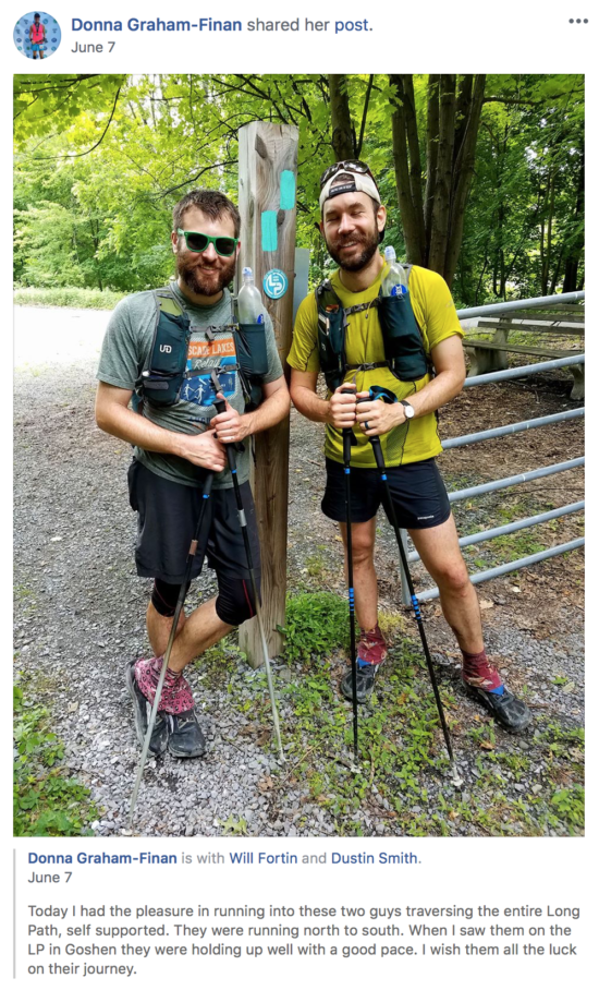
Halfway down said rail trail, another runner coming towards us asks if we’re training for anything. Dustin jokes: “for a traverse of the Long Path.” (Sleep monsters, you guys.) Will tells her we’re actually doing the Long Path traverse now.
Donna ends up turning around and joining us for a mile or so, chatting about the attempt, and grabbed a photo just before we got back to the roads.
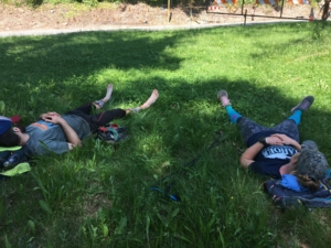
At this point, it was early afternoon, the sun was beating down. Humidity was still bad. We decided to take a break on the side of the bike path. Just 15 minutes to dry feet and nap.
Meanwhile, Kate had gotten to Central Valley around midday in case we were early. Given the heat, it was the opposite. She still had quite the wait.
We alternated hiking and running to lessen the beating on our legs and prevent overheating. Still we ran out of water mid-way down the bike path. Seeing a sign for water at an outdoors shop, we stop in. Barry (owner?) takes us into his office, shows us a machine to make water with different pH levels…and oh, no…we’re in the middle of a pitch for a medical-grade water machine when we just want some water and to skidaddle. Will finally takes the pamphlet so we can go.
We push on, finally finishing the road section and head back into the trees, climbing more than 1,000ft along a ridge and then descending into the final stretch down to central valley. But before we could get to Kate, we hit a section that felt like an MC Escher painting, crossing under or over three different highways, a set of train tracks and a bridge, all within a half mile. We’re coming Kate! Slowly.
We roll into Central Valley around 8:30pm. We are super happy to see Kate and give her huge hugs, but are walking very stiffly. Our feet are so swollen we can feel them straining against the outer limits of our socks. And we are just incredibly tired. So so tired.
The tentative plan was to continue on into Harriman State Park, roughly 15 miles to the first shelter and sleep there. But we just were too beat up. We gave in to the temptations of civilization.
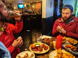
We slow walked to A Better Place Bar & Grill. We ordered all the things: nachos, mozz sticks, burger, wings, loaded fries, FAT TIRE x2 and ate with a vengence. That Fat Tire was so, so good.
Day 8: Harriman and Turning South
After our feast, we slept five glorious hours on clean sheets at America’s Best Value Inn and were out of the room by 5am. We all grabbed coffee and Will ate “a terrible breakfast sandwich” at Sunoco before heading up the road and out of Central Valley, generally buoyed by rest and food and good company. We got briefly lost, missing a turn off the highway and into a ravine where the The Long Path traces the border of West Point (we could hear live fire), but soon were on our way down into Harriman State Park.
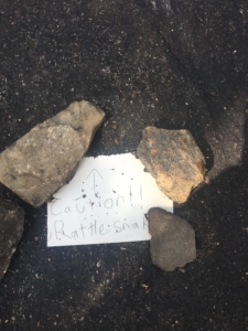
Harriman was very hikable and sometimes runable, and we made good time. Just after the first shelter, we see a note, held in place by some rocks.
We thought, “that’s nice but there’s no way there’s actually a..”
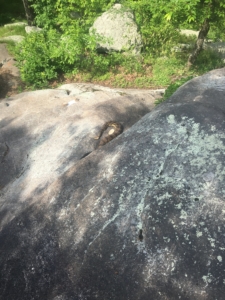
“…Holy crap!” An actual timber rattlesnake, just chillin’ out on his ledge. We normally would have just trundled down the rock formation.
The rest of Harriman was unremarkable by comparison and we descended into what Will calls “Jurassic Ditch”, a ravine along the interstate populated with enormous pines, palms and ferns. It was slow going and hot, but at least shaded. We popped out on to a major road and crossed to reach Dunkin’, our major re-supply for the day.
To cool down, Will and Dustin both got their first and likely last Frozen Dunkaccino®, size large, ringing in at 940 calories. An unbelievably easy way to get down that many calories. We can’t believe they sell them to civilians though.
After leaving Pomona, the weather kept getting hotter, so we slowed down a bit, especially on the road and exposed sections.
By 7:30pm, we were in High Tor State Park and treated to wide runnable path. We needed it, since as you get further south, especially in the Town Forests, the trail ostensibly closes after dark. We got notice from Ken Posner to be especially careful if we reach the Palisades Park, as the rangers are known to be unyielding to rule breakers.
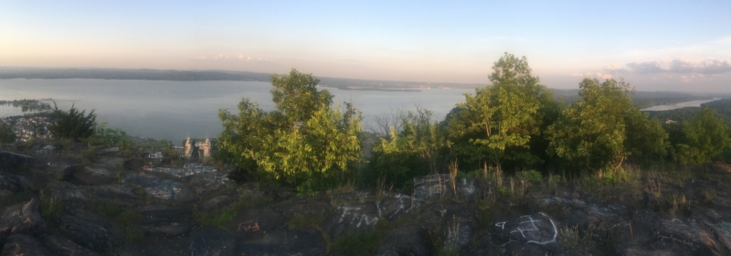
Out of High Tor, we climbed up on a ridge overlooking the Hudson and were treated to a gorgeous sunset.
As night fell, we hit the rolling hills of Rockland Lake State Park. On a descent into a saddle, we see a light up ahead. Uh oh.
“Will? Dustin? It’s a friend.”
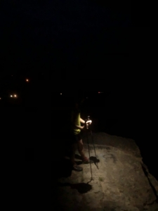
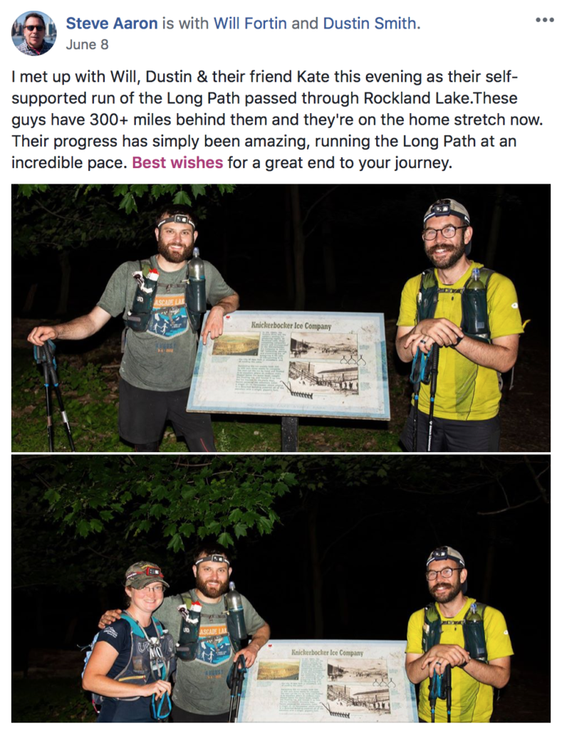
It was Steve Aaron (not park police!), renowned photographer (especially of the Long Path), meeting us in his home territory just before Hook Mountain. We chatted briefly, he snapped a photo (using his big flash) and we headed off into the night. Steve is kind enough to offer us food and water (as Cindy had also done), but Kate quickly and politely declines on our behalf.
We were trying our best to just push straight through to the finish. It was 2am and Will was going to adjust his shoes, so Dustin laid down for a quick 10 minute nap. Will decided to do the same. Kate kept watch. We hit snooze twice for a 30 minute total, but it was poor, broken sleep and barely did us any good. Sleep deprivation leading to poor decisions leading to worse sleep deprivation. It made the descent into Nyack, where we’d hit the Shell for our next resupply, even more tortuous. The path to the Shell gas station was…wow. Very brushy and uneven, threading through ravines behind apartment complexes. We were always so close, but never there, until we popped out onto the road and just stared at each other in disbelief.
Day 9: The Palisades
We hit the Shell station in Nyack – with ~30 miles to go – during the wee hours. The older guy working thought it was just bonkers that we were gonna run to NYC; we didn’t even tell him where we came from. The younger guy thought the whole trip was just awesome.
After leaving, we made our way to Blauvelt State Park, where we laid out the tarp and took a 30 minute nap.
We cruised through the rest of Blauvelt and then Tallman State Park and hit Lamont-Doherty Earth Observatory, where Will works as a geophysicist, at just about sunrise. Which meant we were just in time for a real breakfast at the 9W Market!
After a short road walk, we hit Section 1: the 14 miles in Palisades Park that got this whole crazy project started. The 14 miles Will run-commutes, the 14 miles he knows cold. The final approach to the George Washington Bridge.
It’s another warm and sunny day, and we’re lucky to be shaded by the forest canopy, except where we pop out along the Hudson.
By 10:30am, we’ve made it to the Palisades Park HQ, buzzing with cyclist (who stop there to use the water fountain) and despite the coffee at breakfast, the sleep monsters are howling at our extremities. We’re having trouble walking without stumbling, even on wide open trail, so we lay down for a nap in the shadow of a large pine.
Unfortunately, the shadow moved quickly and we kept getting sun exposure. As we crept back into the shade, the sun continued to move. Again, our 30 minute nap was chopped up and we admitted it might not be the last time we have to crash before the bridge.
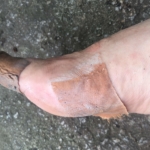
The last 10 miles were a grind. We were falling apart, all kinds of soft tissue and blister problems. We hiked as hard as we could.
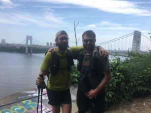
Two and a half hours later, we step out into a clearing and there it is. The George Washington Bridge, the final feature, our gateway to the finish.
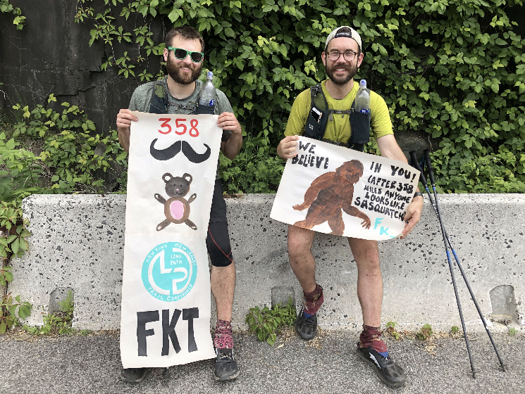
After snapping the photo, Kate ran up ahead toward the finish so she could wait for us there. Shortly after, we reached the end of the (dirt) trail and base of the bridge on the NJ side. Ilse and Jen, our ladies, are there to surprise us! And they made hand-painted signs! Such talent!
Unfortunately they hadn’t seen Kate and Kate’s phone was dead (from waiting so long for us in Central Valley). They hung back to try find her so we could go ahead, cross the bridge and finish. The Long Path formerly ended at Ft. Lee on the NJ side and we’d find out later Kate ended up there instead, a fittingly Long Path ending to her pacing adventure. She was found eventually, but sad to have missed the finish after having been with us for 65 miles 🙁
Still hoping Kate might be on the other side, we took off running up and over the bridge. Just 1.5 miles to go.
We cued up Europe’s “The Final Countown” and it blared from the pocket of Dustin’s vest as we crested the top of the bridge and started our descent toward street level.
https://www.youtube.com/watch?v=w9km01hvP4w
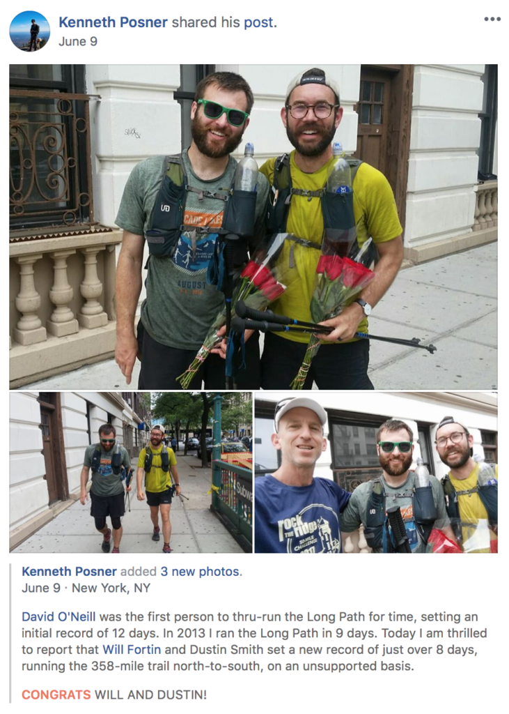
At the end of the bridge, you duck off the side and wind around down to 175th street. We shuffled up the short hill and turned right on to Ft Washington. A short block later, we see Ken Posner standing there with two dozen roses.
We finished at 2:47pm on Saturday June 9th. We had started at 5:37am on Friday June 1st. So that put our time at 8 days, 9 hours and 10 minutes. With Ken Posner’s former record at 9 days, 3 hours, 6 minutes, we had the new FKT for the Long Path!
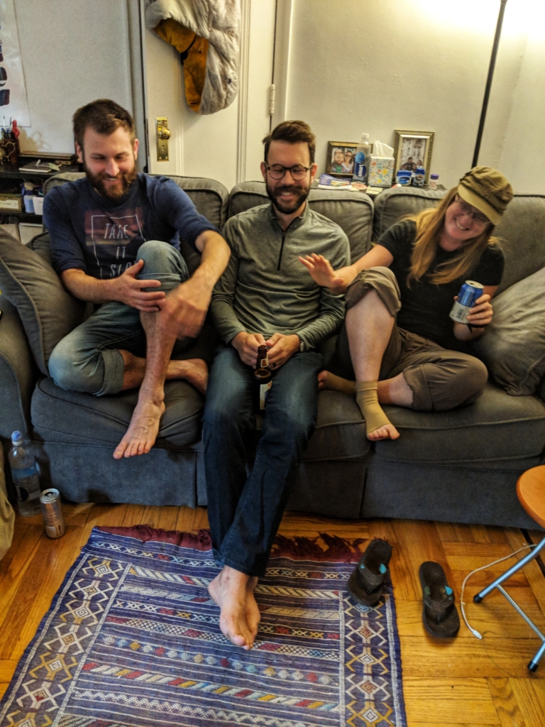
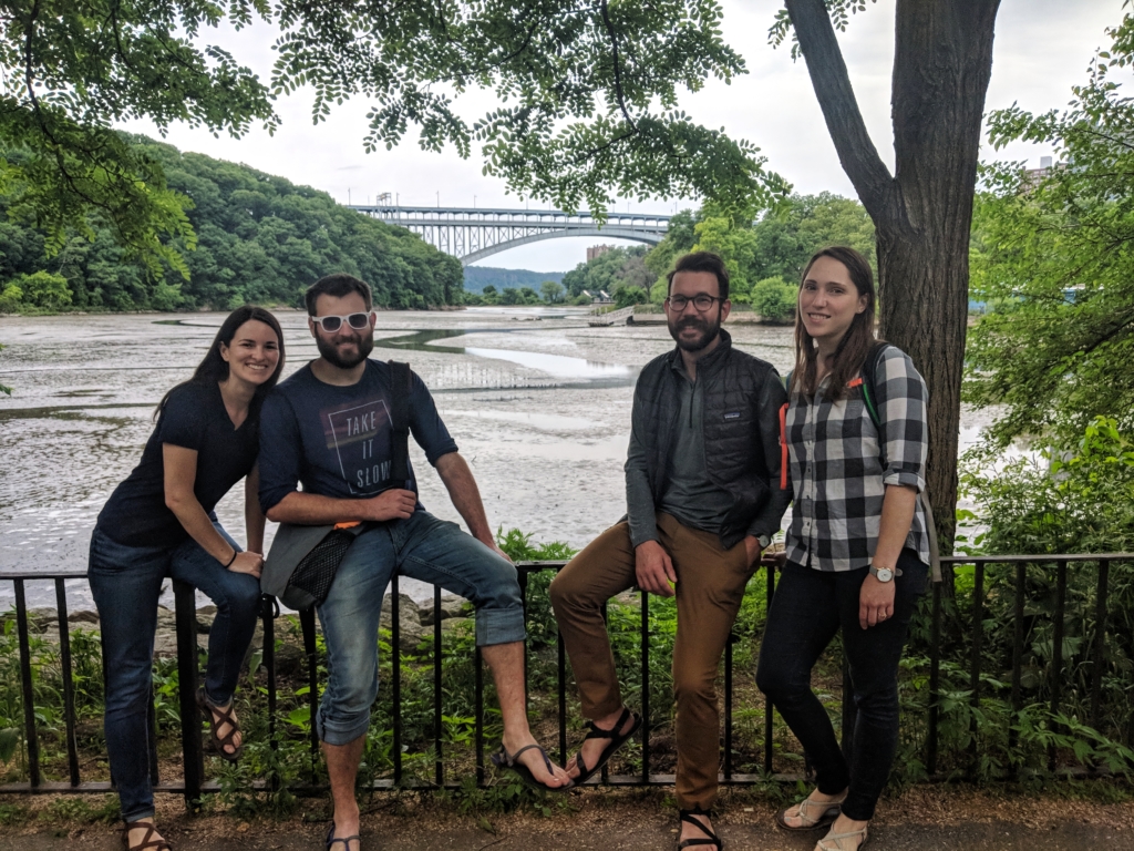
Ken was kind enough to drive us back to Will’s apartment where we showered and waited for Kate, Ilse and Jen to make their way back. It was time to celebrate! We had a wonderful weekend.
Huge thanks to the girls for setting up the best finish line aid station we’ve ever experienced.
And thanks to Kate for pacing us for the final miles and being a real sport about the Long Path throwing one final spanner in the works.
Author’s note: we intended this to be an account of our journey, rather than a guide. You may find a few lessons in the text above, but we intentionally kept restraint on an exhaustive list of ‘lessons learned’. We hope others will make the attempt for the Long Path FKT. It is a wild adventure, beyond what modern ultrarunning races can offer and we don’t want to ruin that with a bunch of handy tips.
We know that our time can be beaten and look forward to cheering on others as they find their own way on the Long Path.
——
Twitter photos posted: link
FKT website for Long Path with tons of more info/links: link
Our GPS tracks, downloaded in .csv: link
Our GPS tracks, downloaded in .gpx: link
