“It will be objected that the book deals too much with mere appearances, with the surface of things, and fails to engage and reveal the patterns of unifying relationship which form the true underlying reality of existence. Here I must confess that I know nothing whatever about the true underlying reality, having never met any.”
“For my own part I am pleased enough with surfaces—in fact they alone seem to me to be of much importance. Such things for example as the grasp of a child’s hand in your own, the flavor of an apple, the embrace of friend or lover, the silk of a girl’s thigh, the sunlight on rock and leaves, the feel of music, the bark of a tree, the abrasion of granite and sand, the plunge of clear water into a pool, the face of the wind—what else is there? What else do we need?” ~Edward Abbey, Desert Solitaire
—————————————————
I was lost. 15 miles lost. No maps and no phone. And I had just left the official course for a forest road promising “Gunnison: 54 miles”.
—————————————————
Section 0 – Pre-race
Peanut butter and juice breakfast. Shortly leaving #hostellife for #hostilelife. pic.twitter.com/Xjbyg8Abjl
— Dustin A. Smith (@IBEXplore) July 13, 2015
Nothing like ram butts greeting you in the morning. #welcometogunnison pic.twitter.com/cv9CxEMfMD
— Dustin A. Smith (@IBEXplore) July 13, 2015
A pile of strawberries and more peanut butter #secondbreakfast #guesswhatsforelevensies pic.twitter.com/RJgXccM0zz
— Dustin A. Smith (@IBEXplore) July 13, 2015
Finest in eyewear. Flexible polymer frame. High reflectivity for sunny Colorado. Neon colors for visibility. #walmart pic.twitter.com/vNaCjLVlye
— Dustin A. Smith (@IBEXplore) July 13, 2015
With all the required equipment, UD pack is a wee bit full. But otherwise ready. GPS beacon is the last bit pic.twitter.com/yib71v9JbC
— Dustin A. Smith (@IBEXplore) July 13, 2015
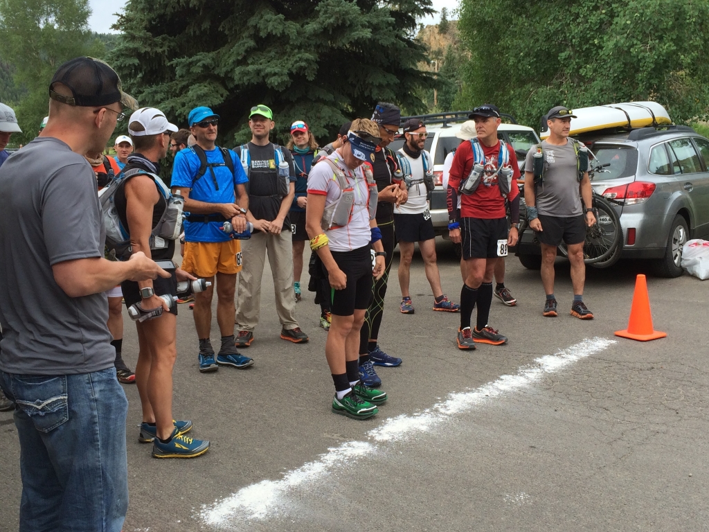
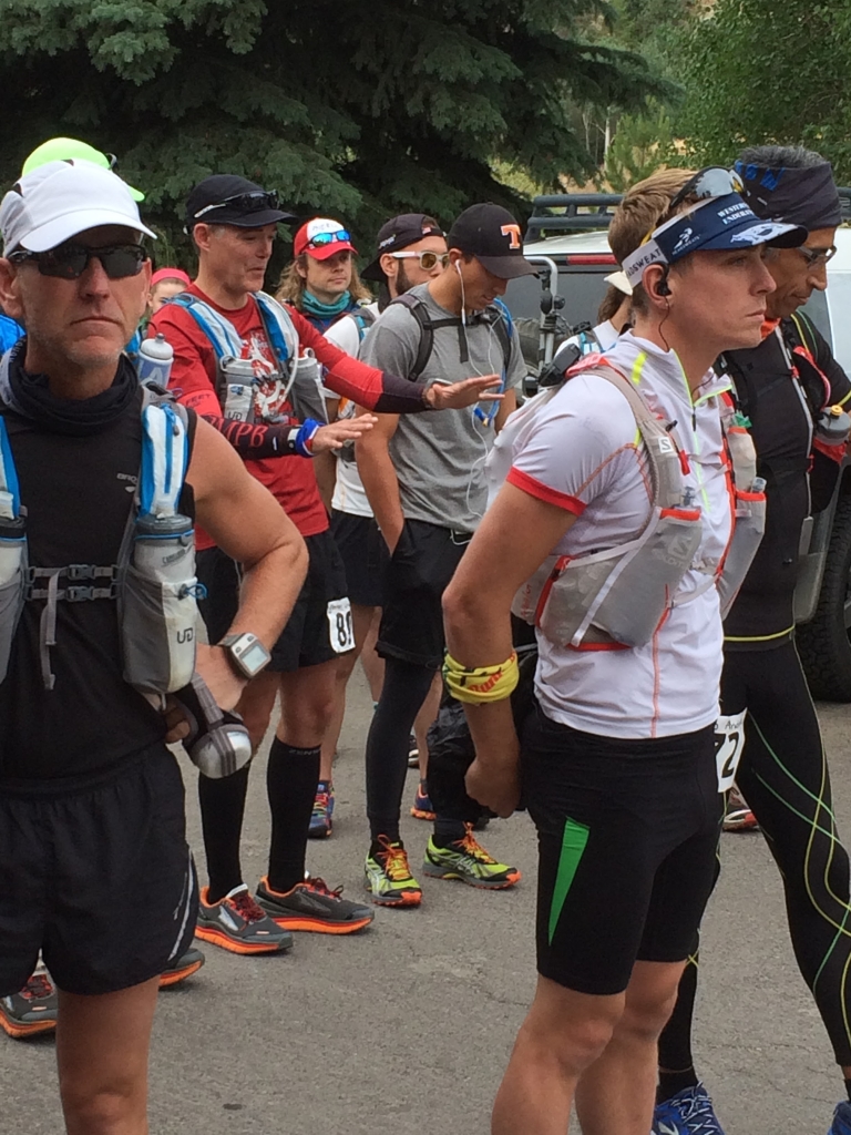
There will be drone footage of the start! #CO200 pic.twitter.com/TV1PMVDSYu
— Dustin A. Smith (@IBEXplore) July 13, 2015
And they are off! Good luck everyone! #CO200 pic.twitter.com/NhhaWXLuva
— Dustin A. Smith (@IBEXplore) July 13, 2015
Section 1 – Harmel’s Ranch Resort (Start/Finish) to Doctor Gulch AS (13.9m)
Avery Collins, far and away the favorite to win, split off early as we stretched out down the road. He turned into the trailhead first and headed up the initial climb.
Joel Gat did some calculations before the race and guessed that 17 minute miles would put him on the podium. The group of 2nd-6th place runners were averaging close to twelves, fast-hiking hills, straining against the altitude, but no one wanted to slow down.
Eight or nine miles in I had broken away into second place, but soon was passed by David Peterman, a fellow mid-westerner from Ohio. We had run the Buzzard Day 100k together in March. I chased him, attacking the downs.
He had spent the past several weeks in Crested Butte running and hiking the course section by section. Before race day, he had almost trod all of it. He was ready.
Ilse was waiting at Doctor Gulch. I had forgotten to take food on the first segment and asked her to “dig out all the portable food I have in the tub.” I refilled water bottles and joined Ilse at the trunk of the car, downing 20+oz of Naked juice (Green Machine) and trading my point-and-shoot camera for food (first time using my UD pack in a race with long intervals between aid stations; food beats photos).
Section 2 – Doctor Gulch AS to Spring Creek Reservoir (25m)
Aid station volunteers told us to “follow the canyon.”
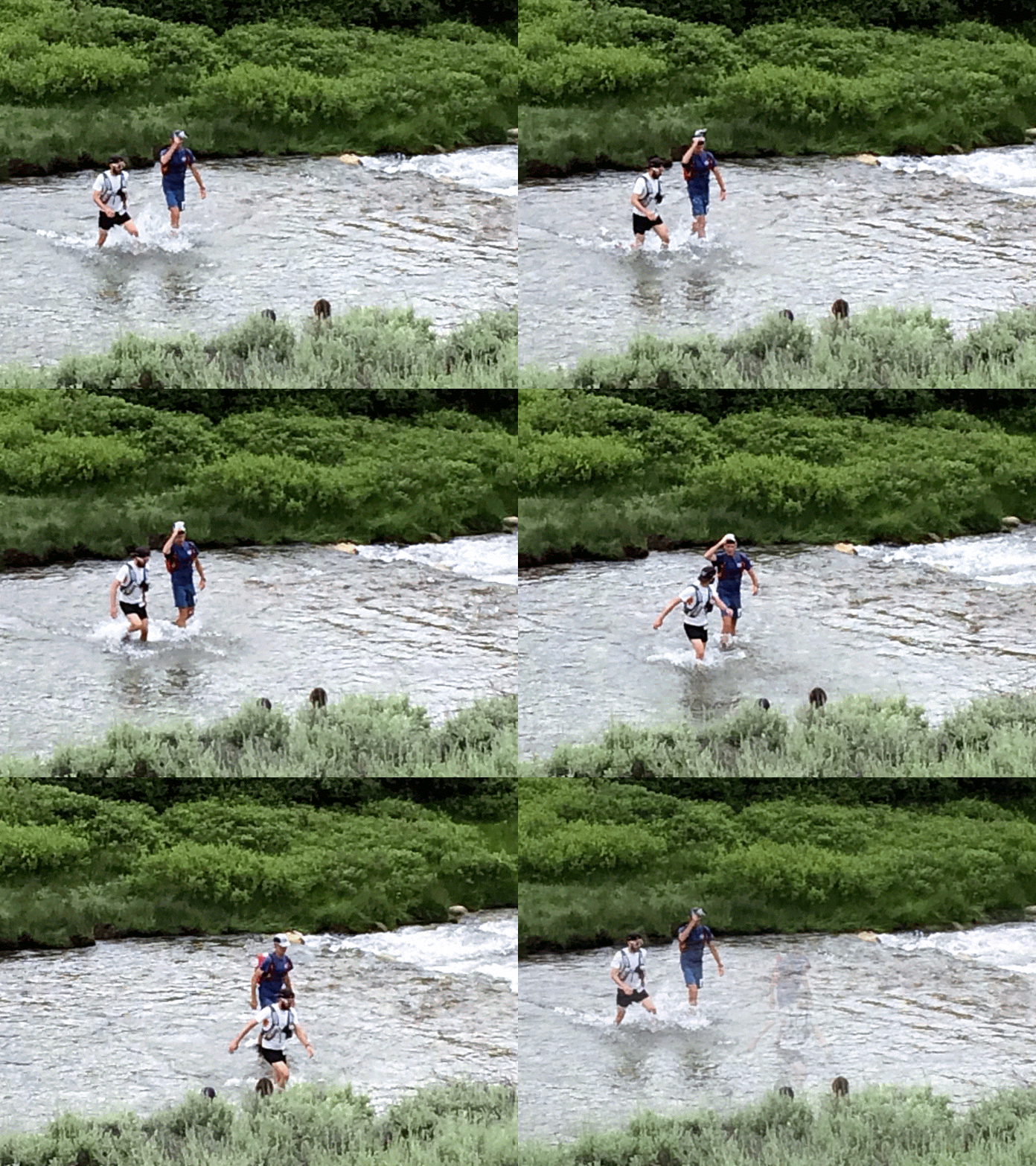
We turned off the dirt road onto a trail that wound through the creek perhaps thirty times. Shoes were constantly soaked. But I was able to keep wetting my buff with cold water. Absent ice, it helped keep my body temperature down given I was moving at ~5.5mph in direct sun.
I lost David Peterman maybe 1/3 of the way through the leg. There was some space between us and then I couldn’t see him anymore.
The single track eventually popped out onto a dirt road and we were treated to some runable downhill into the aid station. I passed Avery a mile out from the aid station coming the other way. He didn’t register me until the last minute. Music on, headphones in, cruising uphill.
Some of the aid station locations are obscenely beautiful. This is at aid station 2 #CO200 #CO220 pic.twitter.com/S5hOSNCrMH
— Dustin A. Smith (@IBEXplore) July 14, 2015
Section 3 – SCR to Star Trailhead AS (44.8m)
The mid-afternoon sun was intense. I drank my two water bottles quickly (2 x 20oz) while powering through the ascent, so filled up for the first time from a creek. Up very high, >12,000 ft, you might not have to worry about filtering since the water comes straight from snowmelt. But I had no idea about where cows graze and their dung is a major contaminant. The MSR Aquatabs were frustratingly small, and I hadn’t tried them out beforehand so fumbled trying to squeeze them out of the foil and into the mouth of the water bottle. You have to wait 30 minutes, allowing the Sodium dichloroisocyanurate time to kill the bacteria, virus and protazoa buggies.
But after 25 minutes, I came over a ridge, desolate and gorgeous, and was surprised to see two sets of people sitting quietly on parked ATVs. They just stared at me.
“Is this an aid station?”
“Yes. This is for you.”
I trotted up towards a jeep parked next to a canopy and tent. Avery was the only one through at that point, so the father and son volunteers were only half set-up.
“Do you have any food, by chance?” I ask.
“Yes we do” the father says, pulling a whole watermelon out of the cooler. “Feel free to take a couple pulls while I hunt for a knife for the watermelon,” pointing to two rifles on the table and zombie targets in the distance.
I thanked him for the offer (this is awesome!), but instead filled up my water bottles while he called after his son who finally found the six inch hunting knife in the tent.
While he was carving, we chatted about his wife, an Ohio State fan and my honeymoon to Boulder and Breckenridge, which we bolted onto the front of the Colorado 200.
I gesture into the distance, “what better place to honeymoon. This is God’s country.”
“You know what they say about Colorado: if God doesn’t live here, He sure spends a lot of time here,” punctuating the statement by throwing the hunting knife into the pink flesh of the watermelon, sticking the blade down to the hilt from ten feet away.
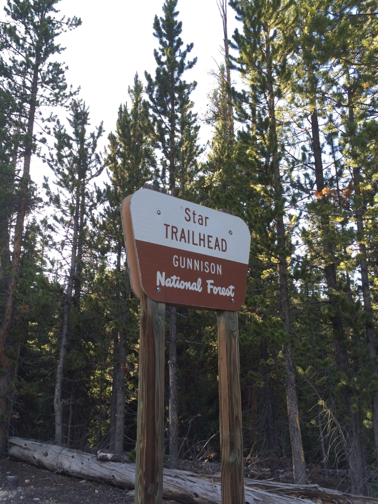
After that, the next ten miles into the Star TH Aid station are a blur.
Section 4 – Star Trailhead AS to 2016 Course Prospecting (+~14 miles)
Rocking the ultralife of the mind since 2012 #inovogroup #CO200 pic.twitter.com/nRDoqKiInS
— Dustin A. Smith (@IBEXplore) July 14, 2015
This section is supposedly much easier than the last. Less than a half mile down a dirt road before picking up the single track. An ascent, a descent. Then we wind through a prairie swamp and pop out onto another dirt road with flags indicating a right turn.
You quickly hit an intersection and planted in the ground is a sign with an arrow pointing left. A sort of 8.5 x 11 posterboard garage sale-type sign. It had a huge pink arrow pointing left. This is the first one we’ve seen, but at the pre-race meeting, Michelle Yates (co-Race Director) had noted that “all major intersections will be marked not only with flags but with arrow signs.”
The sun was going down, so I turned left and dug through my pack for my headlamp while walking down the road.
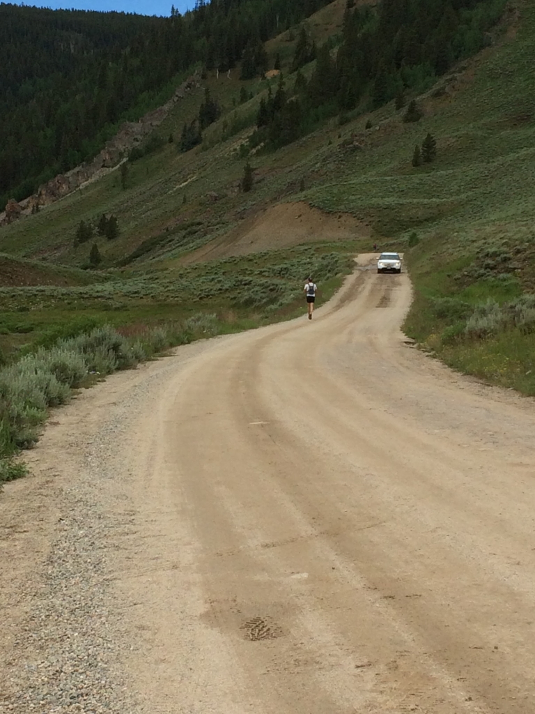
It was a long, straight, sandy dirt road with kids zooming up and down on ATVs. I got about two miles down to the mouth of a campground and saw (what looked like) a course marking flag on the ground. “Course tampering,” I thought. At the pre-race meeting, both Wyatt and Michelle had noted separate parts of the course that would also have ATV and dirt bike traffic. Flags might be either run over or deliberately tampered with. I waved down an ATV and asked the teenage girl hanging off the back, “is this the way to the Star Trail?”
“Yes, it is.”
At the last aid station, I had asked Ilse “how far to the Star TH aid station?” and she told me 10.5 miles. I was under the impression that the pieces of paper hanging from the aid station table had the mileage to the next aid station and the name of the next aid station. But it had the mileage to the next aid station and the name of THIS aid station. In reality, I had just come from the Star TH aid station and was supposed to head to Texas Creek.
But I kept on straight along the road for a couple more miles and I picked up flags coming from a parallel road going through a campground and entering some singletrack. “I’ll just follow these to the next aid station and they can tell me what to do to set myself on the right. I probably just took a left too quickly and went parallel to the route.”
I switched on my headlamp, followed some single track through the woods, crossed a swift river and entered a campground with a single road running down the middle, full-size RVs set up on either side. Dogs barked while people settled into their campers for the night. Final twilight was disappearing. Running through to the other end of the campground, the flags disappeared and the road forked in two. I turned left, ran for a half mile and saw no flags so turned back to the fork. Out of water, I ran back to the river to fill a water bottle, fumbling with the Aquatabs. The temperature was dropping and my feet were wet. So I got the orange raincoat, knit cap and waterproof gloves out of my pack.
I ran back to the fork and took a right. I finally found more flags and continued down the road, through a couple more turns and up to the road sign “Gunnison: 54 miles”. Shit. I’m so lost. I must have picked up flags from way later in the course and there’s going to be no aid station set up, even if I do get there.
I had left the course maps and turn-by-turn directions in the trunk of the car, partially because we were carrying so much gear already, and I had no phone. Stupid. “The mountain has much to teach me” kept flowing through my head. I had nothing but warm clothes and water purification tablets. No food. And to stay warm, I had to keep moving.
So I continued on, winding up a dirt road, following flags until reaching an intersection where the flags go right and the road continues on. I decide to go straight (there won’t be anyone at that aid station anyway) when I see headlights coming up. It’s Garrett (Candice Burt’s crew chief) in his Winnebago. He pulls out a map with the race route neatly traced and directs me to keep running up the road three miles where I’ll run into the Star TH aid station. So I do, feeling infinitely lucky to have crossed his path.
Two minutes later I hear honking and see headlights approaching from behind. It’s Ilse and a volunteer with the Dork Brothers crew from Texas Creek.
“Get in the car.”
“I can’t get in the car, I’ll be disqualified. The aid station is just up ahead.”
“Go ahead and get in. I talked to Wyatt. We have special permission for us to take you back to the aid station, feed you and then take you to the point where you left the course.”
Section 4 – Star Trailhead AS to Texas Creek Aid Station (56m)
We reached the Star TH aid station five bumpy minutes later. It was 11:00pm. First time through was 6:30pm.
I dried my feet, treated a blister and applied lube in between hasty fistfulls of veggie straws. I went to sit by the fire while Ilse grabbed portable food for my pack.
We got back in the car and Ilse ferried me .4 miles down the dirt road to the trailhead. I still had 5.5 miles to the point where I left the course. Ilse couldn’t enter that intersection into the Here app on her phone (offline maps) and had no other way to navigate there. So it was easiest for me to just go up and over the mountain.
Now with turn-by-turn course directions in hand, I was no longer pushing the pace, carefully checking the directions at each trail juncture. I had gone from second place to third-from-last. I wasn’t going to risk not finishing.
I got back to the road where I took the wrong turn and went straight instead of left. Shortly after that junction Wyatt and Justine pulled up beside me in a truck. They had spoken with Ilse but were still out looking for me.
“Found,” I said, telling them the brief version of my story.
Continuing on, I arrived at Texas Creek around 3:00am where Ilse had the car warm. Even though I wasn’t tired, we thought it best if I wiped the slate clean. Day 1, I ran close to 75 miles, but the official record stood at only 56.
In the front seat of Sharknado, I climbed into a sleeping bag and nodded off for an hour and a half.
Our car, Sharknado, has seen better days but is holding together on tough terrain. Who says Legacies cant go mudding? pic.twitter.com/NgeK4rUPLV
— Dustin A. Smith (@IBEXplore) July 15, 2015
Section 5 – Texas Creek to Texas Creek (78.70m)
It was morning of Day 2 and the sun was up. I pushed off for the 23 mile loop that would return to Texas Creek.
The first eight miles was a rutted-out road. Frequent creek crossings meant more wet feet, even with concerted hopscotch.
I caught up with Filip Boelen who was hobbling, clearly in pain. “I’ve got huge hotspots on the bottom of my feet and my crew was sent on from the aid station before I could get there. They had the shoes that would give me relief. I wish I could even run at 2-3 mph.” I offered him 2Toms silicone lubricant, but he really needed his shoes. I wished him luck and continued on.
Several miles down the road, I hit the trailhead for the steep 1,800 ft. climb and the long descent back to Texas Creek.
Section 6 – Texas Creek to Pieplant Mill AS (96.90m)
This section was a rocky hell. You could run for 20 ft. stretches at best. At worst, it was pure scree.
It started raining, a cool rain under overcast skies. I put on my orange rain jacket over my short sleeved technical shirt and donned waterproof gloves. Properly outfitted, it was quite comfortable despite the rain.
We were playing hopscotch over one of the many creeks when I landed on a loose rock, doubled over face-first and punched the water with both fists to break my fall. My gloves were soaked through, no longer waterproof.
When I got to Pieplant, I tried to dry the gloves by the fire, but for every drop that evaporated, several new raindrops fell in its place. I shoved them in my pack and hoped running would keep me warm enough.
Section 7 – Pieplant Mill to Dorchester AS (109.80m)
I had run the first half of this section the night prior during my bonus miles, so it was familiar. Dirt roads, campground, singletrack, river crossing, campground, more dirt roads.
I met up with Will Fortin at the water station where the flags turned right (I had gone straight the night before). He was seated, adjusting his Altras (loosening them to help relieve some foot tendon pain). We filled our water bottles and walked on together, picking up into a run for the short section that preceded the next climb.
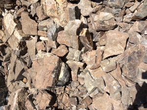
We climbed and climbed, up a forest road, up a pile of fine white mineral near an abandoned mine, and up more singletrack. We had to fast-hike the descent since the trail was so rocky and foot placement was difficult in the dark. So much for running to stay warm.
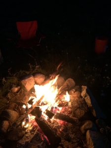
I didn’t realize how cold I was getting without gloves on. I had a knit cap and my orange rain jacket over a short sleeved running shirt, but it was spitting rain and I was losing too much body heat to convection. In between chatting about chemists, geophysics, mining, A.M. Homes and Edward Abbey, I repeated: “I can’t wait to get to the fire. I can’t wait to get to the fire. I can’t wait to get to the fire.”
We walk into the Dorchester aid station and check in with the staff. I head straight for the fire, pulling out my gloves to dry them and surprise Ilse (“how’d you sneak in?”) who’d been there forever, trying to both sleep and stay awake waiting for me. She encouraged me to do footcare in the car with the heater on so I could get warm more quickly, so I plopped into the front seat and began peeling off layers.
Will and I had intended to go on to Mt. Tilton that night and crash there since it was only 11:00pm and there was still plenty of night left, but Ilse sang a siren’s song: warm car, ibuprofen, a sleeping bag and nearly inexhaustible supply of veggie straws. I half muttered for her to go tell Will, but she just hushed me to sleep.
Crumpled in the backseat of Sharknado, I kept searching for a comfortable position. On my back, mucous in my lungs settled, causing a thin, rattling cough. On my side, my hips sang with pain, despite the ibuprofen.
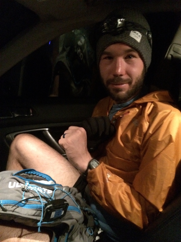
When I woke up a little after 2am, I told Ilse I thought I had pneumonia from being cold and wet through that entire last section. I told her not to tell anyone and that we’d just see how it developed.
In actuality I had early stage High Altitude Pulmonary Edema (HAPE), where “the lung arteries develop excessive pressure in response to low oxygen, resulting in overflow of fluid in the lungs.” It disproportionately affects young males and is exacerbated by heavy exertion. Six of the runners ended up getting it. Common symptoms:
- Extreme fatigue
- Breathlessness at rest
- Fast, shallow breathing
- Cough, possibly productive of frothy or pink sputum
- Gurgling or rattling breaths
- Chest tightness, fullness, or congestion
- Blue or gray lips or fingernails
- Drowsiness
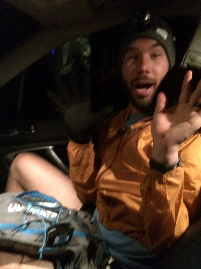
I played surprised kitty for the camera to show how spry I was feeling.
It was 3am. I packed up, put on all my warm clothing, switched on my headlamp and by 3:20 I was headed toward Mt. Tilton TH.
Section 8 – Dorchester to Mt. Tilton TH (122.30m)
The sun rose halfway into this section. Though I don’t remember much, I recall thinking it’d be difficult to do the whole thing in the dark as Will had done the night prior and glad I slept where I did.
For the last 1.5 miles of singletrack leading down to the Mt. Tilton aid station, you descend steeply. At the bottom, there’s a wide creek with no hope of dry feet. I stepped in and reached John Brower in the middle coming the other way, with his head hanging heavy, shoulders soft: “what’s one more crossing after all they’ve done to us.”
I reached the aid station and the AS captain took my pack and set it by the fire. She ran through the list of hot foods and I picked potatoes, refried beans and broth. Another woman ducked into a camper and five minutes later came out with real potatoes, pan-sauteed with coarse salt. THIS IS AMAZING. Glorious breakfast, with a mostly silent Phil Nimmo sipping tea across the fire.
Before leaving, I was encouraged to rummage through the food tote. I grabbed several handfuls of potato chips, two huge spoonfuls of peanut butter and several other things I don’t remember.
Then it was back through the creek on the way up to Mt. Tilton.
Section 9 – Mt. Tilton TH to Brush Creek TH AS (140.10m)
The first couple miles were a steady climb with switchbacks, but that gave way to climbing ~1,100 ft. in a mile. Class 2 scrambling. Parts of the trail were just ATV tracks through the mud, like they furiously charged at the mountainside and barely spun their way up.
But we were finally given a gift. All the sections felt long, but volunteers marking the course had mistakenly cut two miles off this section.
Ilse barely made it to the aid station in time because of the short course, but had ice and Naked juice (Blue Machine) in tow, as well as gluten-free lemon poppyseed and chocolate pumpkin breads from the Boulder farmer’s market.
I ate heartily, changed shirts, did footcare and pushed off, encouraged that I’d see Ilse again in nine miles and that there was plenty of daylight left.
Looking great at 140 (official) miles. #lovingsomeswitchbacks @dirtyburg pic.twitter.com/H3udDtJPTM
— Dustin A. Smith (@IBEXplore) July 15, 2015
Section 10 – Brush Creek to Farris Creek (148.80m)
I ran back up the road and we crossed a fence, entering some singletrack and starting a long climb, ~2,500ft over five miles, up and over the mountain.
A short way into the climb I was breathing shallowly and rapidly, wheezing and coughing, the HAPE flaring up as it tends to later in the day.
A half mile from the peak I look up and see Joe Hegman twenty five feet ahead. “How are you guys doing?”
I thought he was still with Kent Ryhorchuk (I passed them heading into the Brush Creek aid station) but looking up again, I could see he was alone. I approached him and he stood by the trail. “How are you doing?” He didn’t respond. “Are you doing ok?”
“I had a real hard time breathing coming up the mountain,” he said. I told him I was experiencing many of the same symptoms, that I thought I had picked up pneumonia the night before when I got super chilled. I asked, “do you have that thin, rakish cough?” gesturing at sternum-height to the lungs below. “I’ve been coughing up blood,” he replied.
I asked him if he needed anything (food, salt), but he didn’t. “Do you have any crew down at the aid station?” “No,” he said, “just me.” I left reluctantly, “I’ll tell the aid station folk about you when I get down there,” continuing up and over the mountain, running most of the descent.
It was tight switchbacks into the aid station, but I continued running right into the volunteers’ tent. Breathless, I asked for the aid station captain immediately. “#83, he’s back up there probably a few miles. Really rough shape. 10,000 yard stare. Coughing blood. Had a really hard time breathing on the way up the mountain.”
One of the aid station volunteers bounded up the switchbacks headed after Joe and I ducked into Sharknado to escape the wind which was gusting at 20mph+ in the canyon. I felt like shit but looked good enough on the outside so was able to evade the attention of the grim reaper (aid station volunteer) pacing up and down the row of parked cars. Soon Joe would be down for the count. John Brower was laying beside the car next to us and would drop there as well.
The HAPE wasn’t going to get better. It was ~6:30pm. Sun would set at 8:30. More time in the car meant more time in the dark during the 15.5 miles to Cement Creek.
Left Farris Creek TH at 6:35pm MDT (mile 149). Will sleep 3-4h at Cement Creek, anticipated arrival there at midnight, mile 164.
— Dustin A. Smith (@IBEXplore) July 16, 2015
Section 11 – Farris Creek to Cement Creek (164.30m)
I put on my orange rain coat and hat, strapped on my pack and trotted down the road to the trailhead.
Doug Long caught up with me quickly and we began the ~10 mile, ~4,000 ft climb together. On the ascent, I stopped twice to put on more clothing, and by the second time I had donned every piece of clothing in my pack: running tights over my running shorts; waterproof gloves with HotHands; a knit cap; and I still had my short sleeve technical shirt on but put a long sleeve thermal running shirt over that and put my orange (hooded) raincoat on top of that. The temperatures were dropping into the 30’s. It was so cold that I had my hood cinched over my knit cap just to retain as much body heat as possible. Cold only makes HAPE worse, so it was a fight to keep down the wheezing and coughing and gurgling as I pushed through the ascent.
These pit-stops put Doug nearly a mile ahead of me. I’d still occasionally see his headlamp across the canyon.
The section was a little scary. In addition to plenty of clay, the trail ran through sandstone, so you were scaling etched boulders. And it was easy to get near the edge, find that you’ve gone twenty feet off trail, shine your headlamp down into a ravine and be glad you didn’t take a few more steps.
The ups gave way to a savage set of downs threaded through waterfalls. You could hear falling water, but couldn’t quite locate it. There were all sorts of rivulets and feeder creeks that we had to cross, but with enough care, you could usually hop from one bank to another, or play hopscotch on the protruding rocks.
After making it to the bottom of the descent, I see Doug’s headlamp coming back at me. He’d taken a left, gone down a ways and lost track of flags. You can see the aid station across the river straight ahead, but allegedly you have to take a left, go down for over a mile, cross the river and then come back another mile on the other bank.
My turn-by-turn directions say that it’s 1.1 miles down, so I follow him for a second try. Surely enough, two quick flags in succession and then at least a half mile with nothing. Several small creek crossings. Nothing. So we head back to check for flags and find the same two. “Ok, so it must be this way.” We make another excursion out ¾ mile++ and find nothing again. The trail is rising away from the water on the right. The river is getting wider and more filled with vegetation. It seems we’re headed toward worse places to cross rather than better. So reluctantly, we head back to the flags again. It’s 1:30am, it’s now below freezing, we’re both cold and exhausted.
So we try another time, just pushing and pushing and pushing. Eventually the trail gives way and there’s a path cut through the prairie grass down to the water.
Before we cross the river, I take off my pants to keep them dry. We grumble at the river, step in and brace against the swift current. It’s as cold as all the water has been, but our body temperatures start dropping since the ambient air is now in the 20s. To keep warm, we run the 1.1 miles to the aid station.
We head straight for the chairs around the fire. There’s an electric blanket on each. Maybe they get malleable when plugged in, but they were crinkly from the cold air and hard to wrap around our bodies. The aid station had spotty deliveries so was scavenging most of its wood. By a little after 2am, the fire was small, and especially being soaked from the thighs down, we struggled to get warm.
We ask what hot food options are and Kolin, the AS volunteer who greeted us, is selling burritos this evening, honing his burrito craft. Doug has at least two. I ask for beans and avocado. As in KFC Famous Bowl/hoarder pile of beans and avocado. But instead I get a few beans and avocado pieces on a large flour tortilla with ample eggs. I can’t eat either. So I pick out the beans and avocado, maybe 75-100 calories worth and start angling for sleeping quarters.
“Are these tents full?”
“Uh, well, yeah, and there’s someone in our tent too,” gesturing toward the tent the aid station volunteers use to crash periodically.
“Here’s the deal,” I tell him, “we want to sleep. I understand that you don’t have room right now. Can you get with the big man (the aid station captain, Coach Jake) and find out when we’ll be able to sleep and where? The car, another tent, wherever.”
“Okay.”
So they find another tent packed away in their Subaru Outback and we find out that sleeping bags were never a problem. Coach Jake and Kolin pitch the tent across the road, lay down a frozen blanket from the back of the car and unfurl two sleeping bags.
Coach Jake ambles over to the fire and let’s us know the tent is ready. It was 2:30am, so I ask for a 5:30am wake up call, Doug nods in assent, and I immediately jet toward the tent thinking that Doug will follow. But he’s somehow now slumped over in his chair, asleep in his own lap.
“You going to sleep with him?” Coach Jake asks Doug, waking him into half consciousness. Doug nods and we both go to stow our packs and climb into our respective sleeping bags.
I keep all of my gear on, including my gloves with HotHands (still hot) and knit cap. But I can’t stop shivering. Fully body shivering, teeth chattering. And my synthetic orange rain jacket rubs loudly against the synthetic sleeping bag. I’m thinking, “I can’t help it, but I’m being a total asshole with Doug trying to sleep.”
The next morning I found out that Doug was shivering too, loud to his ears and thinking the same thing.
After an hour of thrashing, we fell into an hour and a half of hard sleep. It was glorious.
Section 12 – Cement Creek Lollipop to Cement Creek (175m)
I awoke a little after five and wiggled my toes and moved my legs around the sleeping bag. They felt good, limber, relatively pain-free. The tight right calf and left Achilles from the night before had relaxed.
At our 5:30 wake up call, Doug sat up. I used his head as a base for my left hand so I could climb over Kent Dozier who had joined us while we were asleep. I grabbed my pack and drop bag and went out to the fire.
(Here’s Kent Dozier’s video recorded from the tent after we left).
The sun had peeked over the horizon, so we didn’t need headlamps. We had a modest 10.5m lollipop (an out and back with a circle on the end; looks like a lasso or lollipop on a map) with only ~2,200 ft of climbing, so we ate and did footcare and headed out. It meant two more times through Cement Creek, so I saved my dry socks for after the loop.
It was a splendid morning run through sun-splashed wildflowers and dark, loamy forest. Time passed quickly.
“You guys look great!” Coach Jake said when we got back to camp. “Last night you were the worst two looking guys through this aid station.”
My turn-by-turn directions, printed on normal paper, were in tatters. Seeing that, Joel Gat, who had pulled earlier that night, took a stack of paper out of his pack: “would you like directions actually printed on waterproof paper?”
The mountain had already taught him a few things.
We ate, did footcare, thanked the good gentleman volunteers and were off.
Section 13 – Cement Creek to Deadman’s Gulch AS
From Cement Creek, Doug and I started out on a long climb up a dirt road. Mountain bikers were huffing their way up slowly, grinding into the pedals.
Near the top, we ran into Ace Ewing looking weary and lost.
“Can I follow you guys for a little bit? I don’t know which way to go. I’m really confused,” he said.
“Sure. How are you feeling? How’s your water intake been?”
He felt both water bottles strapped to his chest. Both were full. I handed him two S-caps. “Take these and drink half that water bottle.”
After a moment, we start off running, looking and calling back periodically to check on Ace. But soon we get to a juncture in the trail where we were supposed to take a right and head down to Deadman’s Gulch aid station. 2.5 miles and 2,500 feet of loss. Ace claimed he had already been through that aid station, that he was instead going to turn left and head toward the finish.
We saw him leave Cement Creek while we were finishing footcare, so there was no way he could have gotten to Deadman’s Gulch and all the way back up to where we met him.
“I want to get out of this, how do I get out of this?” he pleaded, his speech slightly slurred.
He wasn’t asking for the nearest aid station, or how to pull from the race—the normal, linear questions you ask when you’re in the pain cave. He wanted to escape this dimension. I want out of this. How do I get out of this.
“Ok, Ace, we’re pretty sure you haven’t been to the aid station,” we tried to explain, “but it’s only a couple miles this way and all downhill. There will be people there with water and ice and you can rest a bit.”
“Are there going to be cars there?” he asks.
“Yes, my wife’s going to be there. There’ll definitely be cars there.”
“Okay.”
“Alright, let’s go. Can you run a little bit more?”
“Yes, I can run, I want to get out of this. I want an IV.”
We begin to descend a long series of switchbacks. A mile down the hills we meet the AS captain from Mt. Tilton (ASCMT). She recognizes Ace is in bad shape and agrees to tow him into Deadman’s Gulch.
“I’m going to bomb down ahead and get everything ready at the aid station,” I told her. I take off and Doug slows down, hoping that Ace follows him and keeps his body temperature under control. But Ace wants out badly, so I hear him charging after me with ASCMT in close pursuit, both not far back.
I reach the aid station a couple minute prior to them and ask for the captain, filling AS captain Justine in on Ace’s condition. She gets out an inflatable mat. I ask Ilse to go make an ice buff for his neck and another aid station volunteer to begin packing Ziplock bags of ice.
Ace comes into the aid station with Doug and ASCMT. We lay him down. I get behind his head and pack the first ice pack into his crotch, a little too vigorously. He winced. Sorry Ace. But his eyes were rolling back in his head and he was minimally responsive.
We got ice packs into his armpits and crotch, an ice buff wrapping ice behind his neck and a cool towel on his forehead. He began to answer questions with longer sentences and show more alertness in his face.
His partner was there, crouched by his side, worried. I said out loud, “you need to get him to the hospital and get an IV in him. That’s what he needs right now.”
Then ASCMT took over. “He’s fine. I was talking to him on the way down. He’s still in this. Just give him an hour or two and he’ll be back in it.”
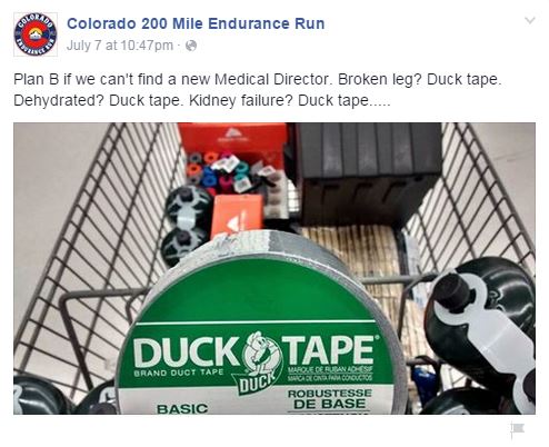
The race originally had a medical director, but he pulled out.
It was awkward. ASCMT was technically representing the race staff. So I backed off. I saw Garrett (Candice Burt’s crew chief) make a face and I told him I disagreed with the approach. We’re both lapsed EMTs. He felt the same way. Like ASCMT was being too cavalier.
But by this point Ace was responsive, asking to check the register to see if he had been to the aid station before, so Ilse forced me to sit down and eat and do footcare.
Getting after it at the last full aid station #CO200 pic.twitter.com/2dn7OkAMgQ
— Dustin A. Smith (@IBEXplore) July 16, 2015
Joe Hegman was there, looking hale and cheery, after getting a good night’s sleep (he pulled at Farris Creek due to severe HAPE). He was kind enough to give me some squeezy fruit packs for the next section so I didn’t have to choke down any more GU. Filip Boelen was working the aid station, having pulled due to horrible blisters on the bottom of his feet (aid station volunteers had mixed up Filip and Phil Nimmo and/or Wiley and sent Filip’s crew forward to the next aid station…they had his alternate pair of shoes which would have given him relief). Candice Burt had come into the race less than 100% healthy, but made it all the way to 165 (Cement Creek) before pulling and was drinking a celebratory beer out of a coozie, looking relaxed in a lawnchair.
We took selfies with the crew and trotted off to begin the 2,500 ft climb.
Aid station selfie. Because why not. Those two left DM gulch at 2:24pm in the last stretch pic.twitter.com/od24jXjr2D
— Dustin A. Smith (@IBEXplore) July 16, 2015
Section 14 – Deadman’s Gulch to Harmel’s Ranch Resort
It was switchbacks all the way up and we took turns stepping aside for mountain bikes flying down the descent.
I had lubed my feet and put on new shoes and socks at Deadman’s Gulch, but I felt a knot on the ball of my right foot. I adjusted by shoe once. But it felt like there was extra fabric balled up under the bottom. The feeling didn’t go away. So I peeled off the sock and found a blister starting.
I needed to keep up with Doug and the section was only ~15 miles, so I was just going to push through it. But soon enough, I felt the same thing on the left foot and the right one getting worse.
Both Doug and I’s HAPE was flaring up badly, so we huffed loudly up the climbs. The resulting slow pace helped my feet.
We hit the final water station (a couple jugs sitting by a tree) and refilled while sitting on a log, savoring the moment of rest. It looked to be all downhill to the finish line, so we pushed off and started trotting down the gravel road.
Soon I landed on a sharp rock, right in the middle of the blister on the right foot. “Owwwwwwwww-eeeeeee!!!” I was now hopping now on my left foot, favoring the right.
“I popped the right blister. It’s ok, it’s ok.”
The ball of my right foot was wet with pus and the epidermal layer gashed, leaving it to rub against the raw pink skin below it. I asked Doug if he had anything for feet and pulled out the pre-packed foot kit given to us in the goodie bags (I had cannibalized mine before the race start).
I put a 1 x 2 in rectangle of Trail Tape over each of the balls of my feet, put my socks and shoes back on and gingerly bounced a few steps. I lit up and hugged Doug. Without that, every step of the next four miles would have been excruciating. Now it was merely painful.
If my feet weren’t shot, we’d be delighting in this gravel road, letting gravity hurl us down the mountain while we rhythmically picked up one foot and put the other down. But I could only run with hesitation, leaning back in my shoes, on the sections without any rocks. The rest I hobbled, hunched over.
From the water station, it’s five miles of downhill dirt jeep road which flows onto the paved road that leads to Harmel’s. “Shouldn’t we have to climb directly up and over this mountain, off-trail? Or hog-tie that herd of cattle? This is too easy.”
We hit the pavement. I could run a little more easily now, but there were cars whipping around blind curves at 60+ mph. We fast walked along the shoulder until the turn around the last arete when Harmel’s came into sight and then picked up into a run.
“Doug, this has been an absolute pleasure,” reaching over to shake hands.
“I couldn’t agree more.”
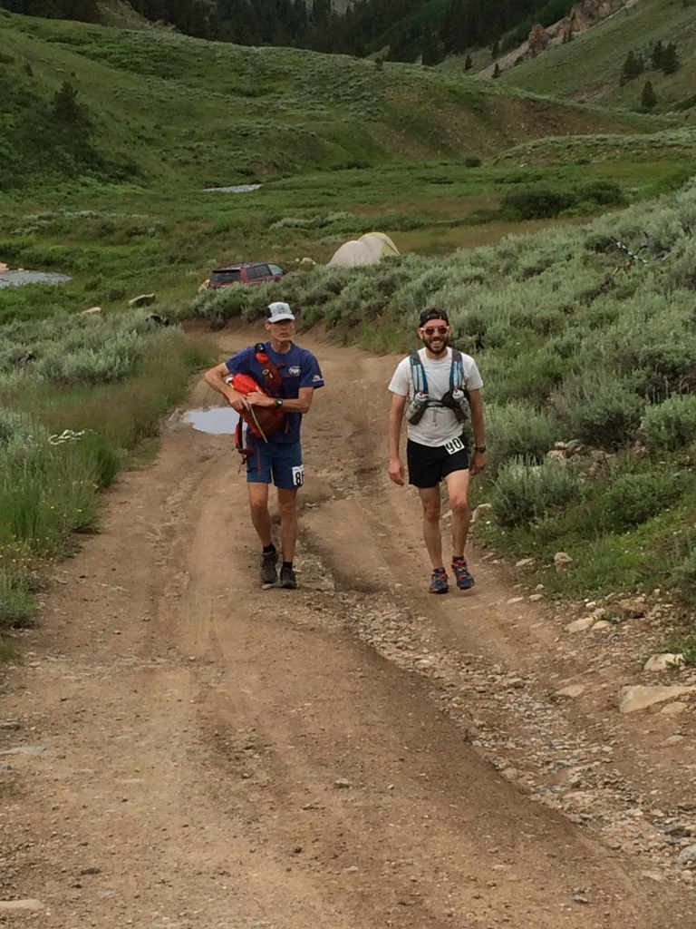
We ducked under the Harmel’s sign and trotted down the 100 ft driveway toward the small crowd gathered. We were in lockstep, shoulder to shoulder. There would be deep injustice in either of us finishing before the other. Our last 55 miles was one story. We put in the miles together; shared toilet paper and bandages; wheezed and heaved and coughed and spat together; emerged from near hypothermia together.
Finisher! 83:55! Tied for fifth with Doug Long, even after the added miles. They are champs! pic.twitter.com/dvrhsaffSd
— Dustin A. Smith (@IBEXplore) July 17, 2015
Wyatt (co-RD) gave me a fist bump, Doug went to his family. I didn’t see Ilse until we were inside (she was behind the camera).
These two! pic.twitter.com/mEAs4iyweJ
— Dustin A. Smith (@IBEXplore) July 17, 2015
“I guess I will have to friend you,” Doug suggested as we were packing up to leave.
“Yeah,” I responded weakly.
24 hours of brotherhood and we were left with ersatz social media. The moment reminded me of this passage I had read recently, partially because Doug is active duty Army and would be headed back to his unit in Texas a day later:
“A veteran who comes home from war is returning from one of the most intense experiences a human being can have. Even if he was not under fire every day, he woke up every morning as part of a team. He started every day with a purpose, and a mission that mattered to those around him.” Eric Greitens, Resilience
I’d be returning to civilian life. Back where people poo in porcelain toilets and have muddier purposes than “get to the next aid station.”
But the mountains were done with me for now. After 83 hours, 55 minutes and ~225 miles, it was time to come home.
—————————————————
Quick links:
- Interactive Course Map
- Trackleaders GPS Tracking and Replay
- Results
- Colorado 200 Website
- Grand Slam of 200s Website
- Bull Dozier’s CO200 Race Report (Excellent photos/videos)
So, did you make up the miles that you missed while being driven?